Becky and I recently watched a BBC mini-series produced in 2014 during the centennial of the beginning of the First World War. The Passing Bells does not necessarily live up to its IMDB description of being “an epic historical drama spanning the five years of the First World War, as seen through the eyes of two ordinary young soldiers.” Less than epic and too-intentionally-meaningful, each episode takes place in one of the five years of the Great War as the two ordinary soldiers, one German and one English, go from being innocent August 1914 volunteers to hardened and discouraged veterans.
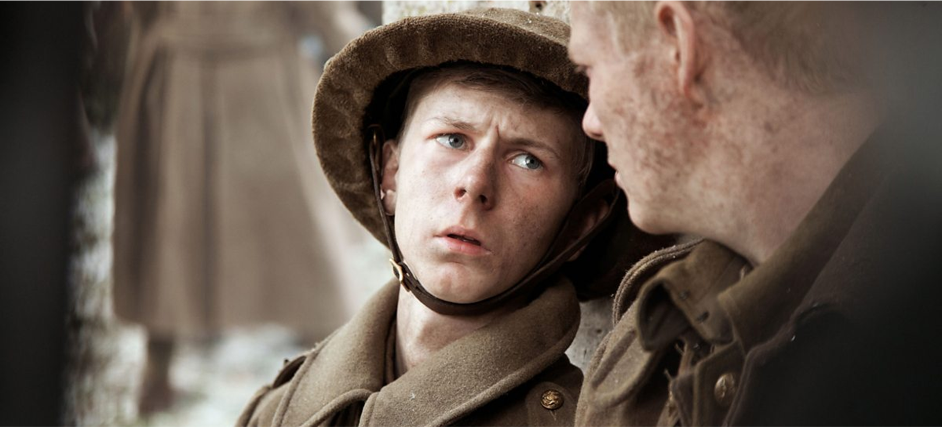
In Episode 4 – 1917 – Thomas, the English soldier befriends too-young-to-enlist, but now in the trenches, 16-year-old Derek. In one scene Thomas, who has been encouraging and protecting Derek, dumps all his despair. Of the war to end all wars he asks, “What if it never ends?” Derek becomes the encourager, and says, “Wars end. It will. It has to.”
For some of us, it seems as if the most encouraging thing we can say about 2020 is “Years end. 2020 will end. It has to.”
Mustering all our courage, we might even say, “Pandemics end. The Covid-19 pandemic will end. It has to.” Continue reading