
With apologies to Robert Frost,
Two routes diverged on Google Maps, and I—
I took the one less traveled by.
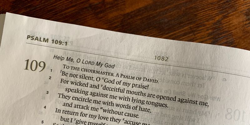
I attended a presbytery-sponsored workshop Saturday, and it was well-worth the 85-mile drive to get there. I had not been to the church in northwest Ohio where the workshop was held, so I asked Google Maps to show me the way. Instead of the closest 85-mile route, however, Google recommended a 101-mile route that would save ten minutes of travel time. Once I hit I-469 north of Fort Wayne, my journey would be mostly by interstate or four-lane highway. 70 MPH.
Two routes diverged on Google Maps, and I— I took the one less traveled by. County roads and state highways, I never saw four lanes, and the best I could do was 55 MPH. Or so. But I had to slow down as I drove through Hicksville and Ottawa, Ohio, pretty little towns. Mostly, though, my road less travelled took me through farm country. White framed farmhouses, red painted barns, and tall silos. And fields, mile after mile of fields. Some of the fields were still littered with the dry remains of last year’s corn crop, others were freshly plowed, and a few of them shimmered green in the early spring sunshine – a new crop, soybeans maybe? Continue reading